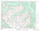
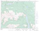
Maps showing Lower Taseko Lake, Lillooet Land District, British Columbia
Lower Taseko Lake is a Lake located in Lillooet Land District, British Columbia and has an elevation of 1331 meters.
- Latitude: 51° 17' 38'' North (decimal: 51.2938889)
- Longitude: 123° 35' 39'' West (decimal: -123.594167)
- Topography Feature Category: Lake
- Geographical Feature: Lake
- Canadian Province/Territory: British Columbia
- Elevation: 1331 meters
- Location: Lillooet Land District
- Atlas of Canada Locator Map: Lower Taseko Lake
- GPS Coordinate Locator Map: Lower Taseko Lake Lat/Long
Lower Taseko Lake NTS Map Sheets