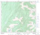
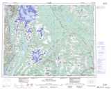
Maps showing Gwinkbawaueast Indian Reserve 54, Cassiar Land District, British Columbia
Gwinkbawaueast Indian Reserve 54 is a Indian Reserve located in Cassiar Land District, British Columbia.
- Latitude: 55° 28' 40'' North (decimal: 55.4778000)
- Longitude: 128° 56' 20'' West (decimal: -128.9389000)
- Topography Feature Category: Indian Reserve
- Geographical Feature: Indian Reserve
- Canadian Province/Territory: British Columbia
- Location: Cassiar Land District
- GPS Coordinate Locator Map: Gwinkbawaueast Indian Reserve 54 Lat/Long
Gwinkbawaueast Indian Reserve 54 NTS Map Sheets