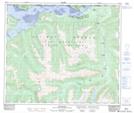
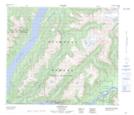
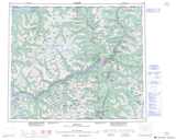
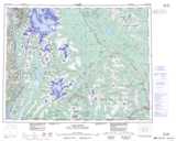
Maps showing Stony Point (Fishery Bay) Indian Reserve 10, Cassiar Land District, British Columbia
Stony Point (Fishery Bay) Indian Reserve 10 is a Indian Reserve located in Cassiar Land District, British Columbia.
- Latitude: 55° 0' 15'' North (decimal: 55.0042000)
- Longitude: 129° 38' 45'' West (decimal: -129.6457999)
- Topography Feature Category: Indian Reserve
- Geographical Feature: Indian Reserve
- Canadian Province/Territory: British Columbia
- Location: Cassiar Land District
- GPS Coordinate Locator Map: Stony Point (Fishery Bay) Indian Reserve 10 Lat/Long
Stony Point (Fishery Bay) Indian Reserve 10 NTS Map Sheets