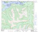
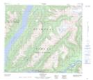
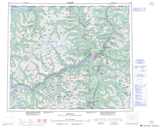
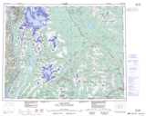
Maps showing Kincolith Indian Reserve 14, Range 5 Coast Land District, British Columbia
Kincolith Indian Reserve 14 is a Indian Reserve located in Range 5 Coast Land District, British Columbia.
- Latitude: 54° 59' 45'' North (decimal: 54.9958333)
- Longitude: 129° 55' 50'' West (decimal: -129.9305555)
- Topography Feature Category: Indian Reserve
- Geographical Feature: Indian Reserve
- Canadian Province/Territory: British Columbia
- Location: Range 5 Coast Land District
- GPS Coordinate Locator Map: Kincolith Indian Reserve 14 Lat/Long
Kincolith Indian Reserve 14 NTS Map Sheets