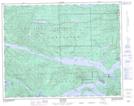
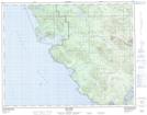
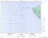
Maps showing Réserve indienne Clienna 14, Rupert Land District, British Columbia
Réserve indienne Clienna 14 is a Indian Reserve located in Rupert Land District, British Columbia and has an elevation of 15 meters.
- Latitude: 50° 32' North (decimal: 50.5333000)
- Longitude: 128° 0' West (decimal: -128.0000000)
- Topography Feature Category: Indian Reserve
- Geographical Feature: Réserve indienne
- Canadian Province/Territory: British Columbia
- Elevation: 15 meters
- Location: Rupert Land District
- Atlas of Canada Locator Map: Réserve indienne Clienna 14
- GPS Coordinate Locator Map: Réserve indienne Clienna 14 Lat/Long
Réserve indienne Clienna 14 NTS Map Sheets