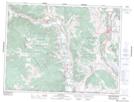
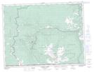
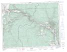
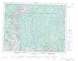
Maps showing Réserve indienne Ashnola 10, Similkameen Division Yale Land District, British Columbia
Réserve indienne Ashnola 10 is a Indian Reserve located in Similkameen Division Yale Land District, British Columbia.
- Latitude: 49° 13' North (decimal: 49.2166999)
- Longitude: 120° 0' West (decimal: -120.0000000)
- Topography Feature Category: Indian Reserve
- Geographical Feature: Réserve indienne
- Canadian Province/Territory: British Columbia
- Location: Similkameen Division Yale Land District
- Atlas of Canada Locator Map: Réserve indienne Ashnola 10
- GPS Coordinate Locator Map: Réserve indienne Ashnola 10 Lat/Long
Réserve indienne Ashnola 10 NTS Map Sheets