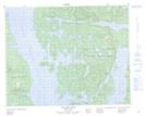
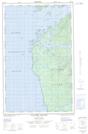
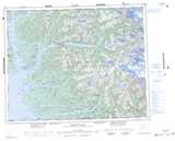
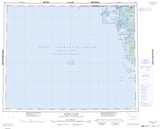
Maps showing Evening Rock, Range 2 Coast Land District, British Columbia
Evening Rock is a Shoal located in Range 2 Coast Land District, British Columbia.
- Latitude: 51° 43' 37'' North (decimal: 51.7269448)
- Longitude: 128° 2' 00'' West (decimal: -128.0333330)
- Topography Feature Category: Shoal
- Geographical Feature: Rock
- Canadian Province/Territory: British Columbia
- Location: Range 2 Coast Land District
- Atlas of Canada Locator Map: Evening Rock
- GPS Coordinate Locator Map: Evening Rock Lat/Long
Evening Rock NTS Map Sheets