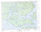
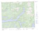
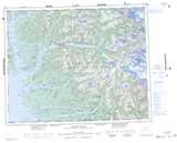
Maps showing Sir Harry Range, Range 1 Coast Land District, British Columbia
Sir Harry Range is a Mountain located in Range 1 Coast Land District, British Columbia.
- Latitude: 50° 59' 52'' North (decimal: 50.9977778)
- Longitude: 126° 54' 6'' West (decimal: -126.901667)
- Topography Feature Category: Mountain
- Geographical Feature: Range
- Canadian Province/Territory: British Columbia
- Location: Range 1 Coast Land District
- Atlas of Canada Locator Map: Sir Harry Range
- GPS Coordinate Locator Map: Sir Harry Range Lat/Long
Sir Harry Range NTS Map Sheets