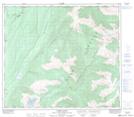
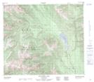
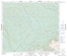
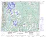
Maps showing Kiteen Ridge, Cassiar Land District, British Columbia
Kiteen Ridge is a Mountain located in Cassiar Land District, British Columbia and has an elevation of 1512 meters.
- Latitude: 55° 26' 39'' North (decimal: 55.4441666)
- Longitude: 128° 34' 53'' West (decimal: -128.5813888)
- Topography Feature Category: Mountain
- Geographical Feature: Ridge
- Canadian Province/Territory: British Columbia
- Elevation: 1512 meters
- Location: Cassiar Land District
- Atlas of Canada Locator Map: Kiteen Ridge
- GPS Coordinate Locator Map: Kiteen Ridge Lat/Long
Kiteen Ridge NTS Map Sheets