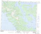
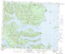
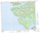
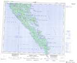
Maps showing Wright Inlet, Queen Charlotte Land District, British Columbia
Wright Inlet is a Bay located in Queen Charlotte Land District, British Columbia.
- Latitude: 52° 45' North (decimal: 52.7500000)
- Longitude: 132° 00' West (decimal: -131.9999999)
- Topography Feature Category: Bay
- Geographical Feature: Inlet
- Canadian Province/Territory: British Columbia
- Location: Queen Charlotte Land District
- GPS Coordinate Locator Map: Wright Inlet Lat/Long
Wright Inlet NTS Map Sheets
103C Map Not Available Topographic Map at 1:250,000 scale
