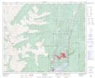
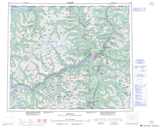
Maps showing Mount Clague, Range 5 Coast Land District, British Columbia
Mount Clague is a Mountain located in Range 5 Coast Land District, British Columbia and has an elevation of 1231 meters.
- Latitude: 54° 5' 19'' North (decimal: 54.0886111)
- Longitude: 128° 46' 31'' West (decimal: -128.7752777)
- Topography Feature Category: Mountain
- Geographical Feature: Mount
- Canadian Province/Territory: British Columbia
- Elevation: 1231 meters
- Location: Range 5 Coast Land District
- Atlas of Canada Locator Map: Mount Clague
- GPS Coordinate Locator Map: Mount Clague Lat/Long