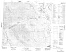
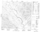
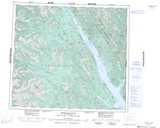
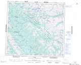
Maps showing England Mountain, Cassiar Land District, British Columbia
England Mountain is a Mountain located in Cassiar Land District, British Columbia.
- Latitude: 56° 59' 28'' North (decimal: 56.9911111)
- Longitude: 125° 22' 36'' West (decimal: -125.376667)
- Topography Feature Category: Mountain
- Geographical Feature: Mountain
- Canadian Province/Territory: British Columbia
- Location: Cassiar Land District
- Atlas of Canada Locator Map: England Mountain
- GPS Coordinate Locator Map: England Mountain Lat/Long
England Mountain NTS Map Sheets