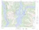
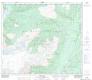
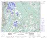
Maps showing Dawson Ridge, Cassiar Land District, British Columbia
Dawson Ridge is a Mountain located in Cassiar Land District, British Columbia and has an elevation of 984 meters.
- Latitude: 55° 24' 52'' North (decimal: 55.4144444)
- Longitude: 129° 32' 34'' West (decimal: -129.542778)
- Topography Feature Category: Mountain
- Geographical Feature: Ridge
- Canadian Province/Territory: British Columbia
- Elevation: 984 meters
- Location: Cassiar Land District
- Atlas of Canada Locator Map: Dawson Ridge
- GPS Coordinate Locator Map: Dawson Ridge Lat/Long
Dawson Ridge NTS Map Sheets
103O Map Not Available Topographic Map at 1:250,000 scale
