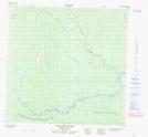
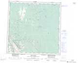
Maps showing Isle de Gravois, Peace River Land District, British Columbia
Isle de Gravois is a Island located in Peace River Land District, British Columbia.
- Latitude: 59° 18' North (decimal: 59.2999999)
- Longitude: 125° 11' West (decimal: -125.1833000)
- Topography Feature Category: Island
- Geographical Feature: Isle
- Canadian Province/Territory: British Columbia
- Location: Peace River Land District
- GPS Coordinate Locator Map: Isle de Gravois Lat/Long
Isle de Gravois NTS Map Sheets