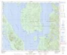
Maps showing Rivers Bight, British Columbia
Rivers Bight is a Bay located in British Columbia.
- Latitude: 53° 13' North (decimal: 53.2167000)
- Longitude: 129° 4' West (decimal: -129.0666999)
- Topography Feature Category: Bay
- Geographical Feature: Bight
- Canadian Province/Territory: British Columbia
- GPS Coordinate Locator Map: Rivers Bight Lat/Long
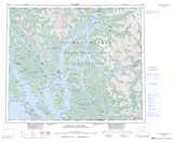
Rivers Bight NTS Map Sheets