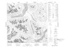
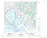
Maps showing Gleaner Mountain, Cassiar Land District, British Columbia
Gleaner Mountain is a Mountain located in Cassiar Land District, British Columbia.
- Latitude: 59° 29' 8'' North (decimal: 59.4855555)
- Longitude: 134° 11' 24'' West (decimal: -134.1900000)
- Topography Feature Category: Mountain
- Geographical Feature: Mountain
- Canadian Province/Territory: British Columbia
- Location: Cassiar Land District
- Atlas of Canada Locator Map: Gleaner Mountain
- GPS Coordinate Locator Map: Gleaner Mountain Lat/Long