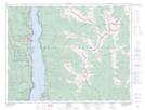
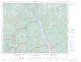
Maps showing Sharks Head Tower, Kootenay Land District, British Columbia
Sharks Head Tower is a Mountain located in Kootenay Land District, British Columbia.
- Latitude: 49° 57' 46'' North (decimal: 49.9627777)
- Longitude: 116° 35' 21'' West (decimal: -116.5891666)
- Topography Feature Category: Mountain
- Geographical Feature: Tower
- Canadian Province/Territory: British Columbia
- Location: Kootenay Land District
- Atlas of Canada Locator Map: Sharks Head Tower
- GPS Coordinate Locator Map: Sharks Head Tower Lat/Long