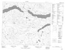
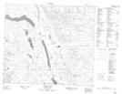
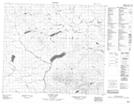
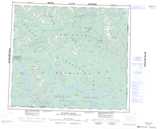
Maps showing Kwun Yótasi Range, Cassiar Land District, British Columbia
Kwun Yótasi Range is a Mountain located in Cassiar Land District, British Columbia.
- Latitude: 55° 17' 45'' North (decimal: 55.2958330)
- Longitude: 125° 5' 00'' West (decimal: -125.0833298)
- Topography Feature Category: Mountain
- Geographical Feature: Range
- Canadian Province/Territory: British Columbia
- Location: Cassiar Land District
- Atlas of Canada Locator Map: Kwun Yótasi Range
- GPS Coordinate Locator Map: Kwun Yótasi Range Lat/Long
Kwun Yótasi Range NTS Map Sheets