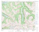
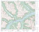
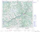
Maps showing Gitnadoix Creek, British Columbia
Gitnadoix Creek is a River located in British Columbia.
- Latitude: 54° 19' North (decimal: 54.3167000)
- Longitude: 129° 12' West (decimal: -129.1999999)
- Topography Feature Category: River
- Geographical Feature: Creek
- Canadian Province/Territory: British Columbia
- GPS Coordinate Locator Map: Gitnadoix Creek Lat/Long
Gitnadoix Creek NTS Map Sheets