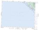
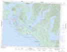
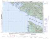
Maps showing Long Bay, Clayoquot Land District, British Columbia
Long Bay is a Bay located in Clayoquot Land District, British Columbia.
- Latitude: 49° 3' North (decimal: 49.0500000)
- Longitude: 125° 44' West (decimal: -125.7332999)
- Topography Feature Category: Bay
- Geographical Feature: Bay
- Canadian Province/Territory: British Columbia
- Location: Clayoquot Land District
- GPS Coordinate Locator Map: Long Bay Lat/Long
Long Bay NTS Map Sheets