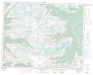
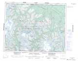
Maps showing Mount Devereux, Range 2 Coast Land District, British Columbia
Mount Devereux is a Mountain located in Range 2 Coast Land District, British Columbia.
- Latitude: 51° 7' 35'' North (decimal: 51.1263889)
- Longitude: 125° 29' 13'' West (decimal: -125.486944)
- Topography Feature Category: Mountain
- Geographical Feature: Mount
- Canadian Province/Territory: British Columbia
- Location: Range 2 Coast Land District
- GPS Coordinate Locator Map: Mount Devereux Lat/Long
Mount Devereux NTS Map Sheets