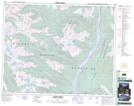
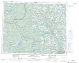
Maps showing Gordonhorne Peak, British Columbia
Gordonhorne Peak is a Mountain located in British Columbia.
- Latitude: 51° 47' North (decimal: 51.7833000)
- Longitude: 118° 49' West (decimal: -118.8167000)
- Topography Feature Category: Mountain
- Geographical Feature: Peak
- Canadian Province/Territory: British Columbia
- GPS Coordinate Locator Map: Gordonhorne Peak Lat/Long
Gordonhorne Peak NTS Map Sheets