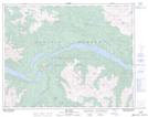
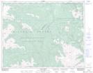
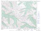
Maps showing Tyaughton River, Lillooet Land District, British Columbia
Tyaughton River is a River located in Lillooet Land District, British Columbia.
- Latitude: 50° 54' North (decimal: 50.8999999)
- Longitude: 122° 37' West (decimal: -122.6167000)
- Topography Feature Category: River
- Geographical Feature: River
- Canadian Province/Territory: British Columbia
- Location: Lillooet Land District
- GPS Coordinate Locator Map: Tyaughton River Lat/Long
Tyaughton River NTS Map Sheets