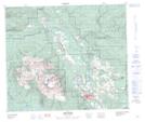
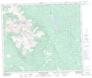
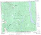
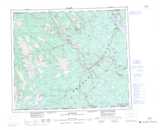
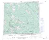
Maps showing Babine Mountains Recreation Area, Range 5 Coast Land District, British Columbia
Babine Mountains Recreation Area is a Conservation area located in Range 5 Coast Land District, British Columbia and has an elevation of 2002 meters.
- Latitude: 54° 55' North (decimal: 54.9166668)
- Longitude: 126° 53' West (decimal: -126.8833298)
- Topography Feature Category: Conservation area
- Geographical Feature: Provincial Recreation Area
- Canadian Province/Territory: British Columbia
- Elevation: 2002 meters
- Location: Range 5 Coast Land District
- Atlas of Canada Locator Map: Babine Mountains Recreation Area
- GPS Coordinate Locator Map: Babine Mountains Recreation Area Lat/Long
Babine Mountains Recreation Area NTS Map Sheets