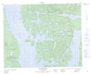
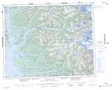
Maps showing The Narrows, Range 2 Coast Land District, British Columbia
The Narrows is a Channel located in Range 2 Coast Land District, British Columbia.
- Latitude: 51° 36' 40'' North (decimal: 51.6111000)
- Longitude: 127° 43' 45'' West (decimal: -127.7291999)
- Topography Feature Category: Channel
- Geographical Feature: Narrows
- Canadian Province/Territory: British Columbia
- Location: Range 2 Coast Land District
- Atlas of Canada Locator Map: The Narrows
- GPS Coordinate Locator Map: The Narrows Lat/Long
The Narrows NTS Map Sheets