Maps showing E.C. Manning Park, Yale Division Yale Land District, British Columbia
E.C. Manning Park is a Conservation area located in Yale Division Yale Land District, British Columbia and has an elevation of 1825 meters.
- Latitude: 49° 4' North (decimal: 49.066667)
- Longitude: 120° 47' West (decimal: -120.78333)
- Topography Feature Category: Conservation area
- Geographical Feature: Provincial Park
- Canadian Province/Territory: British Columbia
- Elevation: 1825 meters
- Location: Yale Division Yale Land District
- Atlas of Canada Locator Map: E.C. Manning Park
- GPS Coordinate Locator Map: E.C. Manning Park Lat/Long
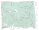
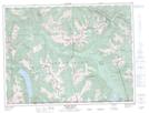
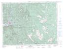
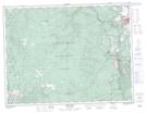
E.C. Manning Park NTS Map Sheets