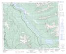
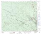
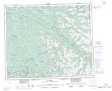
Maps showing Barkerville Historic Town, Cariboo Land District, British Columbia
Barkerville Historic Town is a Conservation area located in Cariboo Land District, British Columbia.
- Latitude: 53° 4' 45'' North (decimal: 53.0791999)
- Longitude: 121° 30' 30'' West (decimal: -121.5083000)
- Topography Feature Category: Conservation area
- Geographical Feature: Provincial Heritage Property
- Canadian Province/Territory: British Columbia
- Location: Cariboo Land District
- Atlas of Canada Locator Map: Barkerville Historic Town
- GPS Coordinate Locator Map: Barkerville Historic Town Lat/Long
Barkerville Historic Town NTS Map Sheets