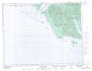
Maps showing Rugged Point Park, British Columbia
Rugged Point Park is a Conservation area located in British Columbia.
- Latitude: 49° 57' 50'' North (decimal: 49.9639000)
- Longitude: 127° 14' 20'' West (decimal: -127.2389000)
- Topography Feature Category: Conservation area
- Geographical Feature: Provincial Park
- Canadian Province/Territory: British Columbia
- GPS Coordinate Locator Map: Rugged Point Park Lat/Long
Rugged Point Park NTS Map Sheets