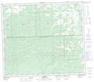
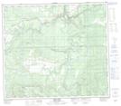
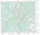
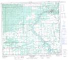
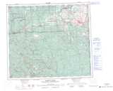
Maps showing Sheep Creek, Peace River Land District, British Columbia
Sheep Creek is a River located in Peace River Land District, British Columbia.
- Latitude: 55° 43' 12'' North (decimal: 55.7199998)
- Longitude: 121° 8' 25'' West (decimal: -121.1402798)
- Topography Feature Category: River
- Geographical Feature: Creek
- Canadian Province/Territory: British Columbia
- Location: Peace River Land District
- Atlas of Canada Locator Map: Sheep Creek
- GPS Coordinate Locator Map: Sheep Creek Lat/Long
Sheep Creek NTS Map Sheets