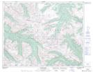
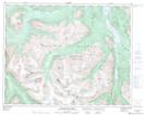
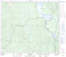
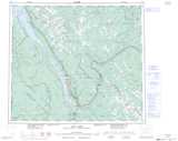
Maps showing Duane Creek, Lillooet Land District, British Columbia
Duane Creek is a River located in Lillooet Land District, British Columbia.
- Latitude: 51° 5' 45'' North (decimal: 51.0958333)
- Longitude: 123° 32' 40'' West (decimal: -123.5444444)
- Topography Feature Category: River
- Geographical Feature: Creek
- Canadian Province/Territory: British Columbia
- Location: Lillooet Land District
- Atlas of Canada Locator Map: Duane Creek
- GPS Coordinate Locator Map: Duane Creek Lat/Long
Duane Creek NTS Map Sheets