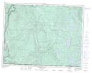
Maps showing Sayward Land District, British Columbia
Sayward Land District is a Geographical area located in British Columbia.
- Latitude: 50° 11' 30'' North (decimal: 50.1917000)
- Longitude: 125° 32' 00'' West (decimal: -125.5332999)
- Topography Feature Category: Geographical area
- Geographical Feature: Land District
- Canadian Province/Territory: British Columbia
- Atlas of Canada Locator Map: Sayward Land District
- GPS Coordinate Locator Map: Sayward Land District Lat/Long
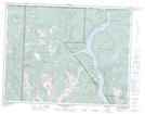
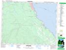
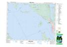
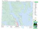
Sayward Land District NTS Map Sheets
092F13 Upper Campbell Lake Topographic Map at 1:50,000 scale
092F14 Oyster River Topographic Map at 1:50,000 scale
092F15 Powell River Topographic Map at 1:50,000 scale
092K03 Quadra Island Topographic Map at 1:50,000 scale
092K04 Brewster Lake Topographic Map at 1:50,000 scale
092F Port Alberni Topographic Map at 1:250,000 scale
092K Bute Inlet Topographic Map at 1:250,000 scale