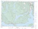
Maps showing Texada Island Land District, British Columbia
Texada Island Land District is a Geographical area located in British Columbia.
- Latitude: 49° 40' North (decimal: 49.6666999)
- Longitude: 124° 23' West (decimal: -124.3832999)
- Topography Feature Category: Geographical area
- Geographical Feature: Land District
- Canadian Province/Territory: British Columbia
- Atlas of Canada Locator Map: Texada Island Land District
- GPS Coordinate Locator Map: Texada Island Land District Lat/Long
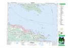
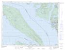
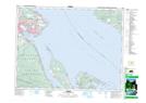
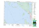
Texada Island Land District NTS Map Sheets
092F08 Parksville Topographic Map at 1:50,000 scale
092F09 Texada Island Topographic Map at 1:50,000 scale
092F10 Comox Topographic Map at 1:50,000 scale
092F15 Powell River Topographic Map at 1:50,000 scale
092F16 Haslam Lake Topographic Map at 1:50,000 scale
092F Port Alberni Topographic Map at 1:250,000 scale
092F09 Texada Island Topographic Map at 1:50,000 scale
092F10 Comox Topographic Map at 1:50,000 scale
092F15 Powell River Topographic Map at 1:50,000 scale
092F16 Haslam Lake Topographic Map at 1:50,000 scale
092F Port Alberni Topographic Map at 1:250,000 scale