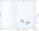
Maps showing Scott Islands Park, Rupert Land District, British Columbia
Scott Islands Park is a Conservation area located in Rupert Land District, British Columbia.
- Latitude: 50° 48' 30'' North (decimal: 50.8082999)
- Longitude: 128° 40' 0'' West (decimal: -128.6666999)
- Topography Feature Category: Conservation area
- Geographical Feature: Provincial Marine Park
- Canadian Province/Territory: British Columbia
- Location: Rupert Land District
- GPS Coordinate Locator Map: Scott Islands Park Lat/Long
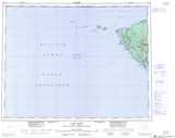
Scott Islands Park NTS Map Sheets