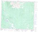
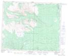
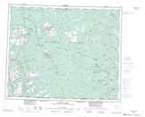
Maps showing Betty Creek, Range 3 Coast Land District, British Columbia
Betty Creek is a River located in Range 3 Coast Land District, British Columbia.
- Latitude: 52° 42' 30'' North (decimal: 52.7083000)
- Longitude: 125° 31' 20'' West (decimal: -125.5221999)
- Topography Feature Category: River
- Geographical Feature: Creek
- Canadian Province/Territory: British Columbia
- Location: Range 3 Coast Land District
- Atlas of Canada Locator Map: Betty Creek
- GPS Coordinate Locator Map: Betty Creek Lat/Long
Betty Creek NTS Map Sheets