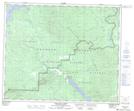
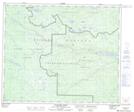
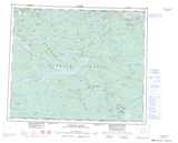
Maps showing Goose Lake, Range 4 Coast Land District, British Columbia
Goose Lake is a Lake located in Range 4 Coast Land District, British Columbia.
- Latitude: 53° 25' 29'' North (decimal: 53.4247222)
- Longitude: 124° 29' 13'' West (decimal: -124.4869444)
- Topography Feature Category: Lake
- Geographical Feature: Lake
- Canadian Province/Territory: British Columbia
- Location: Range 4 Coast Land District
- Atlas of Canada Locator Map: Goose Lake
- GPS Coordinate Locator Map: Goose Lake Lat/Long
Goose Lake NTS Map Sheets