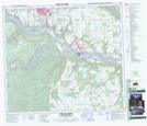
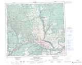
Maps showing Peace Island Park, Peace River Land District, British Columbia
Peace Island Park is a Conservation area located in Peace River Land District, British Columbia.
- Latitude: 56° 8' 5'' North (decimal: 56.1347218)
- Longitude: 120° 41' 00'' West (decimal: -120.6833298)
- Topography Feature Category: Conservation area
- Geographical Feature: Provincial Park
- Canadian Province/Territory: British Columbia
- Location: Peace River Land District
- GPS Coordinate Locator Map: Peace Island Park Lat/Long
Peace Island Park NTS Map Sheets