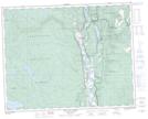
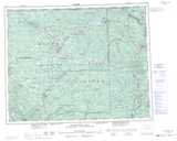
Maps showing Eakin Creek Floodplain Park, Kamloops Division Yale Land District, British Columbia
Eakin Creek Floodplain Park is a Conservation area located in Kamloops Division Yale Land District, British Columbia.
- Latitude: 51° 28' 30'' North (decimal: 51.4750000)
- Longitude: 120° 18' 00'' West (decimal: -120.2999999)
- Topography Feature Category: Conservation area
- Geographical Feature: Provincial Park
- Canadian Province/Territory: British Columbia
- Location: Kamloops Division Yale Land District
- Atlas of Canada Locator Map: Eakin Creek Floodplain Park
- GPS Coordinate Locator Map: Eakin Creek Floodplain Park Lat/Long
Eakin Creek Floodplain Park NTS Map Sheets