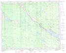
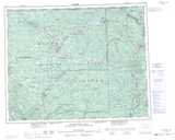
Maps showing Callaghan Meadow, Lillooet Land District, British Columbia
Callaghan Meadow is a Low vegetation located in Lillooet Land District, British Columbia.
- Latitude: 51° 57' 45'' North (decimal: 51.9624999)
- Longitude: 121° 38' 30'' West (decimal: -121.6416999)
- Topography Feature Category: Low vegetation
- Geographical Feature: Meadow
- Canadian Province/Territory: British Columbia
- Location: Lillooet Land District
- Atlas of Canada Locator Map: Callaghan Meadow
- GPS Coordinate Locator Map: Callaghan Meadow Lat/Long
Callaghan Meadow NTS Map Sheets