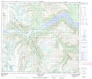
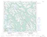
Maps showing Cache Point, Cassiar Land District, British Columbia
Cache Point is a Cape located in Cassiar Land District, British Columbia.
- Latitude: 56° 27' 10'' North (decimal: 56.4527999)
- Longitude: 129° 36' 39'' West (decimal: -129.6108000)
- Topography Feature Category: Cape
- Geographical Feature: Point
- Canadian Province/Territory: British Columbia
- Location: Cassiar Land District
- Atlas of Canada Locator Map: Cache Point
- GPS Coordinate Locator Map: Cache Point Lat/Long
Cache Point NTS Map Sheets