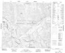
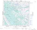
Maps showing Prophet River Hot Springs Park, Peace River Land District, British Columbia
Prophet River Hot Springs Park is a Conservation area located in Peace River Land District, British Columbia.
- Latitude: 57° 39' 5'' North (decimal: 57.6513999)
- Longitude: 124° 1' 40'' West (decimal: -124.0277999)
- Topography Feature Category: Conservation area
- Geographical Feature: Provincial Park
- Canadian Province/Territory: British Columbia
- Location: Peace River Land District
- Atlas of Canada Locator Map: Prophet River Hot Springs Park
- GPS Coordinate Locator Map: Prophet River Hot Springs Park Lat/Long