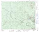
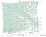
Maps showing Dryup Gulch, Cariboo Land District, British Columbia
Dryup Gulch is a Valley located in Cariboo Land District, British Columbia.
- Latitude: 53° 2' 34'' North (decimal: 53.0427776)
- Longitude: 121° 42' 44'' West (decimal: -121.7122221)
- Topography Feature Category: Valley
- Geographical Feature: Gulch
- Canadian Province/Territory: British Columbia
- Location: Cariboo Land District
- Atlas of Canada Locator Map: Dryup Gulch
- GPS Coordinate Locator Map: Dryup Gulch Lat/Long