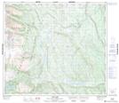
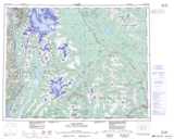
Maps showing Lower Jade Lake, Cassiar Land District, British Columbia
Lower Jade Lake is a Lake located in Cassiar Land District, British Columbia.
- Latitude: 55° 45' 00'' North (decimal: 55.7499998)
- Longitude: 129° 21' 50'' West (decimal: -129.3638888)
- Topography Feature Category: Lake
- Geographical Feature: Lake
- Canadian Province/Territory: British Columbia
- Location: Cassiar Land District
- Atlas of Canada Locator Map: Lower Jade Lake
- GPS Coordinate Locator Map: Lower Jade Lake Lat/Long
Lower Jade Lake NTS Map Sheets