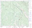
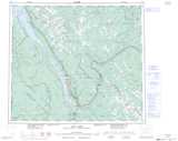
Maps showing Powder King, Peace River Land District, British Columbia
Powder King is a Recreational site located in Peace River Land District, British Columbia.
- Latitude: 55° 21' 12'' North (decimal: 55.3533333)
- Longitude: 122° 36' 57'' West (decimal: -122.6158333)
- Topography Feature Category: Recreational site
- Geographical Feature: Recreation Facility
- Canadian Province/Territory: British Columbia
- Location: Peace River Land District
- Atlas of Canada Locator Map: Powder King
- GPS Coordinate Locator Map: Powder King Lat/Long
Powder King NTS Map Sheets