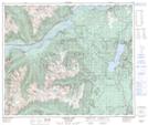
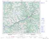
Maps showing Shames Mountain, Range 5 Coast Land District, British Columbia
Shames Mountain is a Recreational site located in Range 5 Coast Land District, British Columbia.
- Latitude: 54° 29' 3'' North (decimal: 54.4841666)
- Longitude: 128° 57' 13'' West (decimal: -128.9536111)
- Topography Feature Category: Recreational site
- Geographical Feature: Recreation Facility
- Canadian Province/Territory: British Columbia
- Location: Range 5 Coast Land District
- Atlas of Canada Locator Map: Shames Mountain
- GPS Coordinate Locator Map: Shames Mountain Lat/Long
Shames Mountain NTS Map Sheets