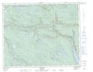
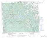
Maps showing Sawmill Creek, Cariboo Land District, British Columbia
Sawmill Creek is a River located in Cariboo Land District, British Columbia.
- Latitude: 52° 39' 47'' North (decimal: 52.6630555)
- Longitude: 121° 31' 22'' West (decimal: -121.5227777)
- Topography Feature Category: River
- Geographical Feature: Creek
- Canadian Province/Territory: British Columbia
- Location: Cariboo Land District
- Atlas of Canada Locator Map: Sawmill Creek
- GPS Coordinate Locator Map: Sawmill Creek Lat/Long
Sawmill Creek NTS Map Sheets