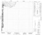
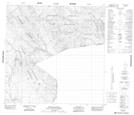
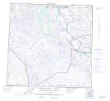
Maps showing Five Mile Creek, Cassiar Land District, British Columbia
Five Mile Creek is a River located in Cassiar Land District, British Columbia.
- Latitude: 59° 29' 22'' North (decimal: 59.4894440)
- Longitude: 136° 26' 33'' West (decimal: -136.4424999)
- Topography Feature Category: River
- Geographical Feature: Creek
- Canadian Province/Territory: British Columbia
- Location: Cassiar Land District
- Atlas of Canada Locator Map: Five Mile Creek
- GPS Coordinate Locator Map: Five Mile Creek Lat/Long
Five Mile Creek NTS Map Sheets