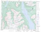
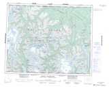
Maps showing Mount Bracewell, Range 2 Coast Land District, British Columbia
Mount Bracewell is a Mountain located in Range 2 Coast Land District, British Columbia.
- Latitude: 51° 25' 00'' North (decimal: 51.4166666)
- Longitude: 124° 19' 49'' West (decimal: -124.3302776)
- Topography Feature Category: Mountain
- Geographical Feature: Mount
- Canadian Province/Territory: British Columbia
- Location: Range 2 Coast Land District
- Atlas of Canada Locator Map: Mount Bracewell
- GPS Coordinate Locator Map: Mount Bracewell Lat/Long
Mount Bracewell NTS Map Sheets