Maps showing Fishtrap 19, Range 3 Coast Land District, British Columbia
Fishtrap 19 is a Indian Reserve located in Range 3 Coast Land District, British Columbia.
- Latitude: 52° 21' 33'' North (decimal: 52.3591666)
- Longitude: 125° 9' 27'' West (decimal: -125.1575)
- Topography Feature Category: Indian Reserve
- Geographical Feature: Indian Reserve - Réserve indienne
- Canadian Province/Territory: British Columbia
- Location: Range 3 Coast Land District
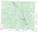
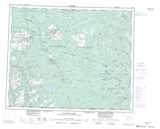
- Atlas of Canada Locator Map: Fishtrap 19
- GPS Coordinate Locator Map: Fishtrap 19 Lat/Long
Fishtrap 19 NTS Map Sheets