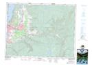
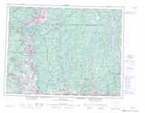
Maps showing Medicine Hill 11, British Columbia
Medicine Hill 11 is a Indian Reserve located in British Columbia.
- Latitude: 49° 49' 39'' North (decimal: 49.8275)
- Longitude: 119° 15' 33'' West (decimal: -119.259167)
- Topography Feature Category: Indian Reserve
- Geographical Feature: Indian Reserve - Réserve indienne
- Canadian Province/Territory: British Columbia
- Atlas of Canada Locator Map: Medicine Hill 11
- GPS Coordinate Locator Map: Medicine Hill 11 Lat/Long