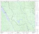
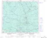
Maps showing Quaw Island 25, British Columbia
Quaw Island 25 is a Indian Reserve located in British Columbia.
- Latitude: 54° 56' 16'' North (decimal: 54.9377778)
- Longitude: 122° 58' 44'' West (decimal: -122.978889)
- Topography Feature Category: Indian Reserve
- Geographical Feature: Indian Reserve - Réserve indienne
- Canadian Province/Territory: British Columbia
- Atlas of Canada Locator Map: Quaw Island 25
- GPS Coordinate Locator Map: Quaw Island 25 Lat/Long
Quaw Island 25 NTS Map Sheets